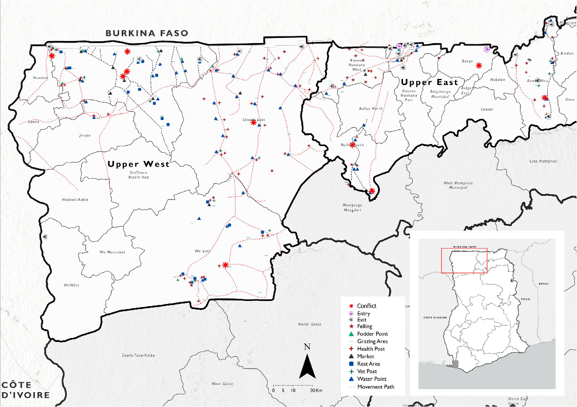
IOM published a new report this month. It maps 17 transhumance corridors running from Burkina Faso into northern Ghana – the seasonal routes that Fulani and other pastoralist communities use to move their herds south in search of grazing and water.
It is solid baseline work. Corridors, water points, livestock markets, conflict hotspots. The kind of data that takes real field effort to produce. It also stops exactly where the story gets difficult.
These are not just pastoral routes
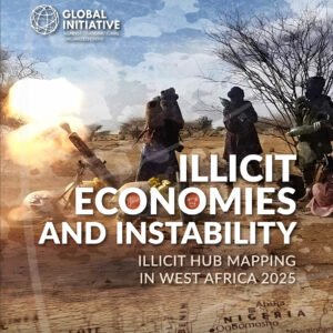
We covered this geography in our analysis of GI-TOC’s 2025 Illicit Hub Mapping report. The entry points IOM identifies – Sissala East, Sissala West, Lambussie in the Upper West Region – sit inside the same triborder ecosystem connecting northern Ghana, Burkina Faso, and Côte d’Ivoire that GI-TOC flagged as a significant illicit hub.
Stolen livestock moves south through these corridors. The cattle rustling that drives the farmer-herder conflicts IOM maps is the same cattle rustling that finances armed groups operating out of the Sahel. These are not separate problems wearing different hats. Traffickers work inside these systems. Not around them.
What seasonal mobility actually means for protection
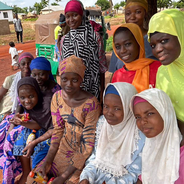
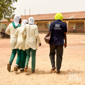
Fulani pastoralist families move with their herds. That means their children move too – registered nowhere, enrolled in school nowhere, visible to no child protection system.
When a family loses cattle to rustling or conflict – and IOM identified 10 active conflict hotspots along these corridors – the economic loss is total. There is no savings account. No fallback.
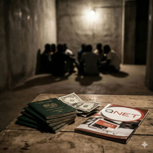
That is the window traffickers look for. Not the dramatic kidnapping. The quiet conversation after a bad season, when someone arrives with a plausible-sounding offer and a family is out of options.
The gaps the report is honest about
To their credit, IOM flags the limitations directly. Security constraints meant data collection wasn’t possible in Bawku Municipal, Binduri, and Pusiga – the Upper East districts where tensions were highest during the survey period. In our experience, the corridors that can’t be mapped are usually the ones that matter most.
One number worth sitting with
The report identified 19 veterinary posts along these corridors. It identified 16 rest areas for the people making these journeys.
There are more facilities for sick animals than there are stopping points for the humans travelling with them. No education provision was mapped because it wasn’t in scope. But its absence says something real about who these systems are built for.
Why this connects to our work
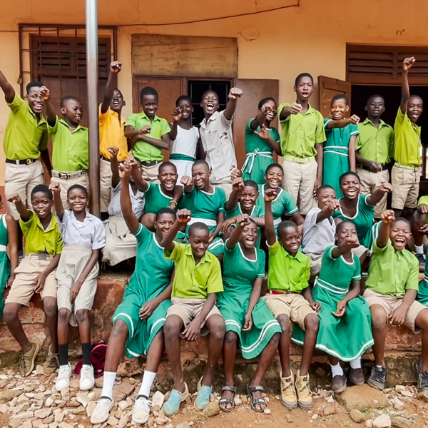
Tamale sits at the southern end of these corridors. The same routes that bring pastoralists to the Guunayilli livestock market – which we wrote about in October – bring the vulnerability that follows economic stress, displacement, and invisibility to services.
Our programmes reach young people in this environment. SOMA Sisterhood works specifically with adolescent girls – the group most targeted when families face economic crisis and someone arrives with promises.
We can’t run prevention education on every corridor. But the pattern the IOM data shows is structurally predictable. Mobility, economic fragility, invisibility to services, and conflict pressure. That combination doesn’t produce trafficking by accident. The routes are mapped. Someone needs to pay attention to what travels along them.
The IOM Transhumance Tracking Tool baseline report was published March 2026. Source: International Organization for Migration, Transhumance Movement Tracking (TTT).